1799 Interpretive Heritage Trail
Story of Matthew Flinders and Bungaree journey to the Glass House Mountains in 1799
Background
In 2019 Sunshine Coast Council conducted research into the path Matthew Flinders and his crew followed on their journey throughout our region.
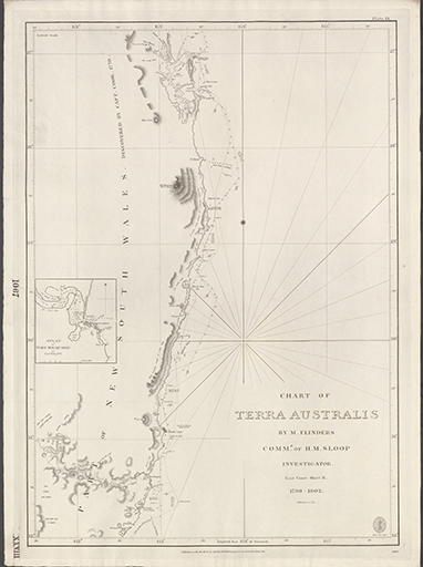
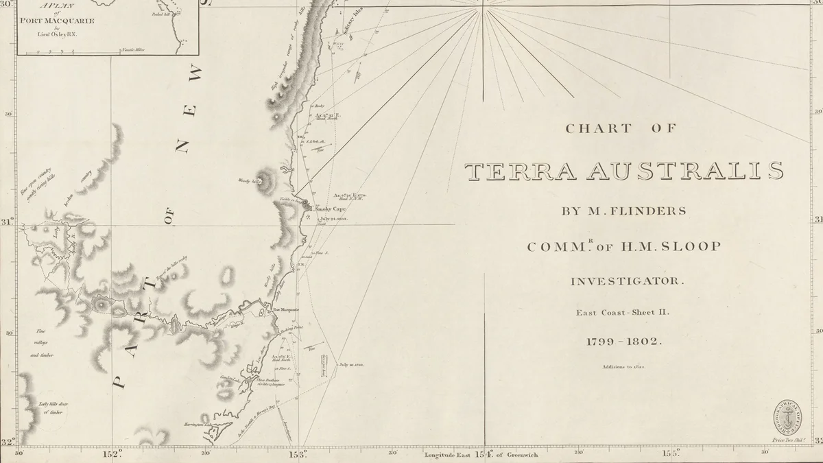
The 1799 Interpretive Heritage Trail to the Glass House Mountains has been informed by a number of journal entries preserved from his journey. Flinders did not provide detailed evidence of the path he took to the Glass House Mountains as he did not survey the route. However he did provide a series of statements about the route from which it is possible to generally reconstruct the path.
The story
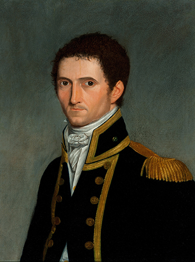
Matthew Flinders was one of Britain's greatest explorers. His most famous exploit was the circumnavigation of Australia, a journey that took nearly two years to complete. Before his epic voyage, Flinders was instructed by the Governor of New South Wales to explore the coast between the penal colony of Port Jackson and Hervey Bay. He set out with a crew of eight and a First Nations man called Bungaree in the sloop Norfolk in July 1799.
Bungaree, a man from the Broken Bay people, was recognised for his 'good disposition, and open and manly conduct' and was thus selected to help Flinders communicate with Aboriginal people encountered along the voyage. He was a good companion, accompanying Flinders on the voyage around Australia in 1802, the first Aboriginal person to circumnavigate the continent. A suburb on Bribie Island was named after him (albeit with a different spelling).
While in Moreton Bay, Flinders, Bungaree and two crew landed near Donnybrook and walked to Mount Beerburrum, camped the night near Tibrogargan Creek and then explored the base of Mount Beerburrum. The camp site was somewhere near the Matthew Flinders Rest Stop, opened in 1969 to commemorate Flinders' expedition.
Download the full 1799 Interpretive Heritage Trail Report.
1799 Interpretive Heritage Trail route
Following extensive research, council has developed a map that indicates the most likely route that Matthew Flinders and Bungaree followed through our region.
This research was possible through contributions from the Caloundra South Infrastructure Fund.
Download the 1799 Interpretive Heritage Trail map[3919KB].
Featured
Matthew Flinders